
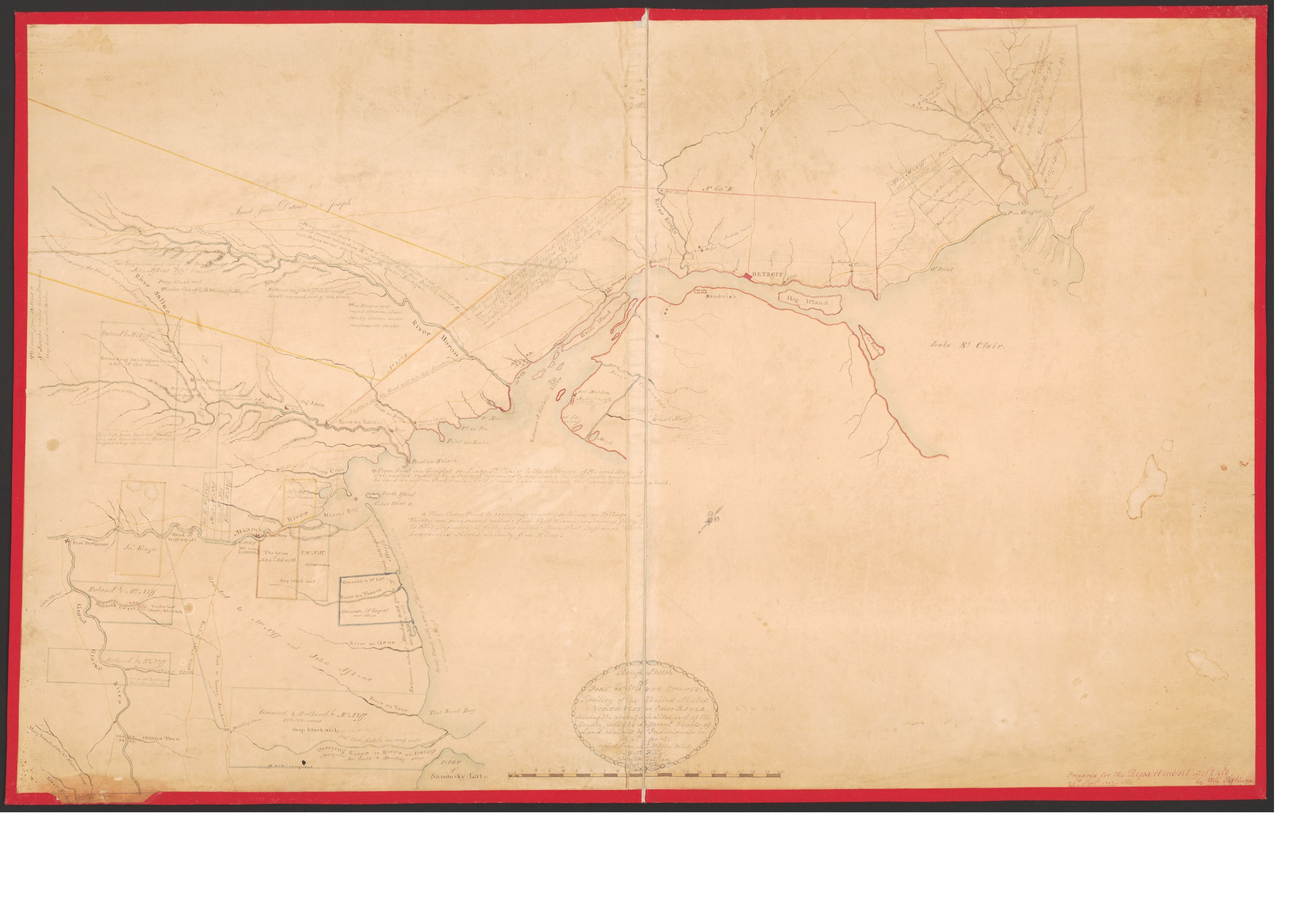
Rough sketch of part of Wayne County, territority of United States : northwest of Ohio River, showing the present inhabited part of the country, with the different tracts of land claimed by individuals in that part
Description:
Map of the western shore of Lake Erie from Sandusky Bay, Ohio to Lake St. Clair.
"Prepared for the Department of State by Wm. Tatham, 25th Septr. 1812"--Lower right in red ink.
LC Land ownership maps, 363
Available also through the Library of Congress Web site as a raster image.
LC copy imperfect: Mounted on cloth backing, original sheets sectioned into 2 panels to enable folding.