
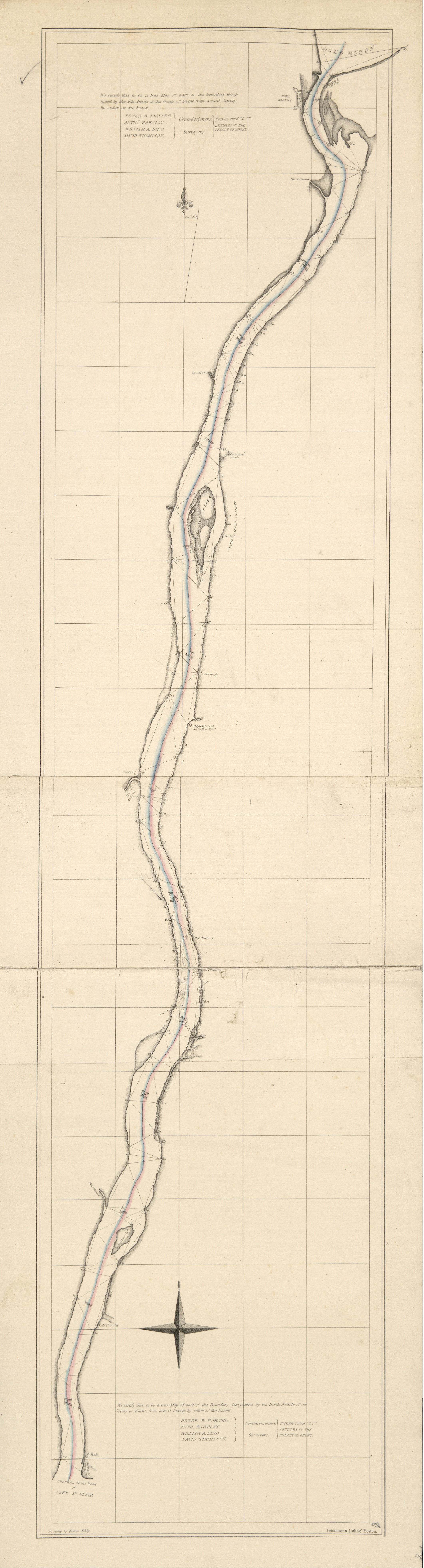
River of St. Clair
Map and report, Ghent treaty -- Potomac aqueduct -- Details -- National road from Zanesville to Florence -- Design for Flynn's Knoll light -- Big Sandy Creek -- Poultneyville Bay -- Great Sodus Bay -- Dunkirk Harbor -- Presqu'isle Bay -- Cattaraugus Harbor -- Portland Harbor -- Portland Harbor breakwater -- Michigan and Erie -- Spirit level from St. Croix to St. John -- Illinois -- Kennebeck River -- Territory of Wisconsin -- Arkansas and Missouri -- Harbor of St. Louis -- Kennebeck River -- Delaware Bay light-house -- Survey of Kennebeck River -- Defence of western frontier -- Survey of Sandusky Bay -- Breakwater on Stanford's Ledge -- Light-house at Barfleur, France -- Fort Sumter and Charleston Harbor -- Fox River -- Northern part of Ohio, Indiana, and Michigan -- Red River raft -- Cumberland River -- Plan of Marine hospital -- Land surveys, 26th Congress, 1st session -- Atlantic Ocean, parts 1, 2, 3, and 4 -- Portland Harbor, Maine -- South shore, Lake Erie -- Mouth of Elk Creek -- Routes from Portsmouth, Ohio, to Linville, North Carolina -- Pensacola Harbor and Bay -- Mouth of Galien River, Michigan -- Charleston Harbor -- Cape Fear, North Carolina -- St. Joseph's, West Florida -- Delta of the St. Clair River and Lake -- Continuation of Cape Fear -- Beaufort, North Carolina -- Tybee Bay -- St. George's Shoal and Bank -- Newark Bay -- Cape Cod Harbor -- Entrance of Cape Fear River -- Narraganset Bay -- Territory of Florida -- Boundary United States and Texas and Sabine River -- Seat of war in Florida -- Pensacola Harbor and Bay -- Pennsylvania and Ohio canal -- Land surveys, 26th Congress, 2d session -- Harbor of St. Louis -- United States, according to the Treaty of Peace, 1783 -- Profile of Lake Nicaragua -- Ohio boundary question -- West coast of Africa -- Survey of Kennebeck River 1, 2, 3, 4, 5, and 6 -- State of Maine, British provinces -- Oregon, west of Rocky Mountains -- Columbia River -- Head waters of Potomac River, 1, 2, 3, 4, 5, and 6 -- Cape May roads -- Road from Saginaw to Mackinac -- Des Moines rapids -- Western railroad to Georgia -- Owl's head harbor, Maine -- British and French dominions in North America -- Northern part of the State of Maine -- Kennebeck River from Augusta to Gardiner -- Northern boundary Indiana -- Diagram survey of the coast of the United States -- Roanoke Inlet and Sound -- Illinois with part of Indiana and Wisconsin -- Maine and adjacent British provinces -- British and French provinces in North America -- Senate document no. 92, 26th Congress, 2d session.