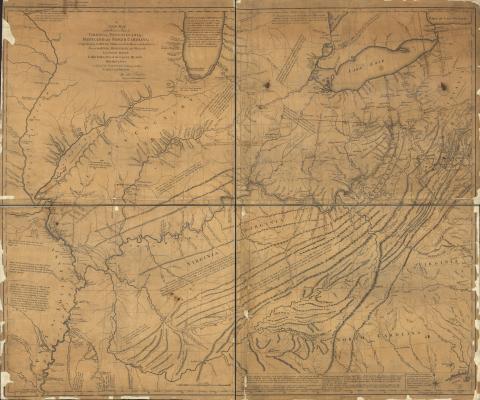
A new map of part of the lakes Huron, Michigan &c. and all the country bordering on these lakes and rivers
Description:
Scale ca. 1:1,270,000.
LC copy annotated in ink. One annotation shows "Indian line as of treaty in 1784."
Relief shown pictorially and by hachures.
Prime meridian: Philadelphia and London.
Includes historical and descriptive text.
LC Maps of North America, 1750-1789, 789
Available also through the Library of Congress Web site as a raster image.
Vault
AACR2
